Geographic Information Systems
Geographic Information Systems
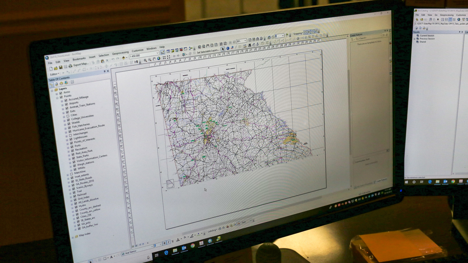
The UGA Institute of Government is a leader in Geographic Information Systems (GIS) in the state of Georgia. Our experience in the latest cartographic and data management techniques help government entities realize the benefits of GIS technology and how to smoothly integrate it into their operations.
What is GIS?
A geographic information system (GIS) is a valuable tool for problem-solving and decision making. This advanced technology organizes a government's digital geographic data and puts it in a functional and adaptable format.
GIS can integrate hardware, software and data to manage all forms of geographically referenced information such as water flows, tax assessor maps and records, zoning and health information.
Viewing and interpreting information along certain criteria, such as time period or location, becomes possible, revealing trends. Users can also view data in a variety of formats including maps, charts and graphs.
Services using GIS solutions include:
-
Digital map production
-
County parcel mapping
-
School district rezoning
-
Transportation/addressing systems
-
Global positioning system (GPS) technology
-
Addressing systems using county road centerlines
-
Creating new data and photo-revising existing data using aerial photography or multi-spectral satellite imagery
-
Digital GIS data conversion for use in other applications (ex., converting Natural Resource Conservation Service soil maps into digital format)
-
Consulting and restructuring for GIS systems
-
Making digital information more easily accessible to citizens
ESRI Software Distribution
We maintain the site license for ESRI software for the University System of Georgia. Questions about ESRI Software Distribution for UGA should be directed to Geoff Garland.
Local Government
We provide a complete GIS solution—from data creation to employee training to no-obligation advice—to local governments. Our team's technical expertise and training allows us to place a strong emphasis on data quality and practical training. We can create new data by building specialized data sets or enhancing existing GIS data. Our GIS and IT staffs can assist county governments in negotiating the challenges of implementing and managing a GIS project. We put a strong emphasis on coordinating GIS activities with surrounding jurisdictions, state and federal agencies.
We can assist local government agencies in the following areas:
-
Combining GIS data sets with tax assessor databases, such as Computer Assisted Mass Appraisal (CAMA) for parcel data. Counties can save time and money by having their data hosted on the Georgia GIS clearinghouse. For more information, email jnolan@itos.uga.edu or call 706.542.5308.
-
Using soil and elevation data in applications such as tax assessment, transportation planning, site suitability analysis, flood vulnerability and determining erosion potential.
-
Using land cover data for planning, change detection (land use, timber, economic growth, etc.) and property tax assessment.
-
Assisting with conservation use and forestland protection analysis.
-
Work with election officials using GIS to determine where a citizen’s polling place is located and which political boundaries they fall within for federal, state and local elections.
-
Creating GIS zoning data from a GIS parcel dataset, account for split-zoned parcels, and create complete, high-quality, zoning datasets in short order.
-
Updating and enhancing county road data sets for many tasks, including creating addressing systems such as 911 dispatch system updates and accurate assignment of new addresses.
State Government
- GIS data collection projects (including field collection)
- Data development
- Data analysis
- Geocoding
- Facilitating Intergovernmental coordination with GIS data sharing
- Online GIS data warehousing
- Development of cartographic products
- ArcGIS Online application development
- Technical training
- Hazard mitigation planning
- GIS data QC
International
- Creating and maintaining common IT infrastructures: websites, FTP sites, repositories
- Custom application development
- Platform and tool research and integration
- Volunteer workforce management
- Program assessments
- Data services: vetting, development and publishing
- Custom training programs
- Special projects designed to provide innovative technical resources and solutions in operational environments throughout the disaster life cycle.
Our partners:
- Georgia Department of Transportation
- Georgia Emergency Management Agency
- Georgia Department of Natural Resources
- Georgia Building Authority
- Georgia Department of Community Affairs
- Georgia State Properties Commission
- Georgia Forestry Commission
- Georgia Board of Regents
- Georgia Environmental Protection Division
- UN entities
- International NGOs
- Domestic and international academic institutions
- Federal and donor agencies
- Tech companies and the volunteer technical community